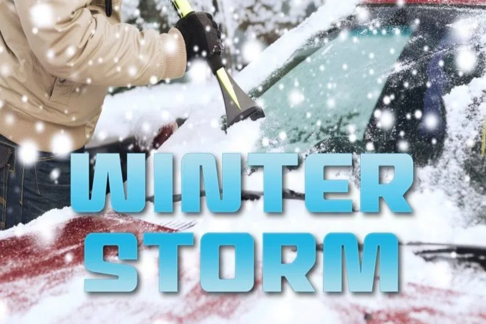
LINCOLN, Ill. – Some details of this week’s winter storm in central Illinois is unknown, but the National Weather Service still believes it will have a significant impact on the area.
Warning Coordination Meteorlogist Ed Shimon provided an update on Tuesday as to what people can expect for the rest of the week.
Shimon said the models are currently uncertain about how much snow will actually fall. But he anticipates less than 6″ to fall in the Peoria-area, with the heaviest bands going through Thursday afternoon.
Shimon said any amount will cause problems.
“This is going to be impactful regardless of the amount of snow really,” Shimon said. “Especially with the strength of the winds that are going to be happening.”
Winds are expected to be sustained at 25-30 MPH with gusts as high as 50 MPH.
The National Weather Service has currently issued a Winter Storm Watch that begins Thursday morning that runs through Saturday. Shimmin said advisories and warnings cannot be ruled out, and a decision on those could be made Wednesday.
After the snow storm comes through Thursday, bitter and dangerous cold temperatures are expected. The National Weather Service is forecasting wind chills to dip as low as -35 on Friday.
